



 HikingLeave No Trace: Seven Principles Every Hiker Should KnowPlan ahead, pack it out, respect wildlife.
 Cal Brooks6 min read
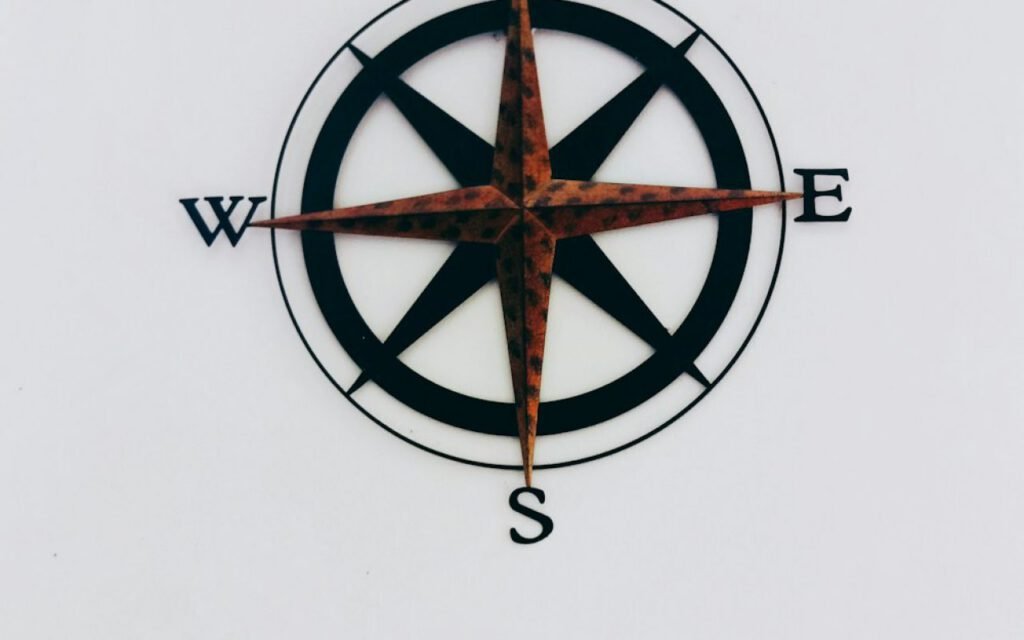
Phones die. A paper map and compass never run out of battery. That simple truth is why experienced hikers still carry a folded topographic map in their packs, even when their phones are loaded with navigation apps. A topo map shows not just where trails go, but what the land looks like: where it climbs, where it drops, where water flows and where a ridge might give you a view. Learning to read one takes an afternoon, and it changes the way you see every trail. Here is a clear, practical guide to getting started.
What makes a map topographic
A regular road map shows you where things are. A topographic map also shows you the shape of the land in three dimensions, printed on a flat sheet of paper. It does that with contour lines, thin lines that connect points of equal elevation. Once you understand them, a topo map lets you picture hills, valleys, cliffs and saddles before you ever reach them.
Topo maps also use colors and symbols to show other features. Green usually shows vegetation like forest, white shows open areas, blue shows water and brown is used for contour lines. Trails, roads, buildings and campsites each have their own symbols, explained in the legend along the edge of the map. Take a few minutes to study the legend before you head out. Every map publisher does things a little differently.
Contour lines
Lines close together mean steep ground; far apart means gentle slopes. That one rule unlocks most of what a topo map can tell you. If you see contour lines packed tightly on the map, the land rises or falls quickly there. If the lines are widely spaced, the terrain is flat or gently rolling. When lines merge into a single dark band, you are likely looking at a cliff.
Contour interval and index lines
The contour interval is the change in elevation between one line and the next, and it is printed in the map’s margin. On many maps it is 40 feet, but it can be smaller or larger depending on the scale. Every fifth line is usually drawn thicker and labeled with its elevation. These are index lines, and they help you count quickly up or down a slope.
Reading landforms
With a little practice, contour patterns start to look like real places:
- Hilltops appear as small closed circles or ovals, often with the highest elevation marked.
- Ridges show as contour lines forming U or V shapes that point downhill.
- Valleys and drainages form V shapes that point uphill, often with a blue stream line.
- Saddles are the low points between two hilltops, shaped like an hourglass.
- Cliffs show where many lines bunch tightly together or merge.
Key takeaway: Tight lines mean steep ground, wide lines mean gentle ground and V shapes that point uphill usually mean water flows down that valley.
Scale and distance
Every map has a scale that tells you how map distance relates to real distance. A common hiking scale is 1:24,000, which means one inch on the map equals 24,000 inches on the ground, or about 2,000 feet. Many maps also print a bar scale in miles, which is the easiest way to measure.
To estimate a trail’s distance, lay a piece of string along the route on the map, following each curve, then measure the string against the bar scale. Then look at the contour lines along the way. A three-mile hike on flat ground is very different from a three-mile hike that climbs 1,500 feet. Many hikers add extra time for every 1,000 feet of elevation gain when they plan a day.
Learn the map at home. Use it on the trail.
Cal Brooks, outdoor guide (fictional)
Cal Brooks gives that advice to every group he leads, and it makes sense. The kitchen table is the best place to practice. Spread out a map of a trail you know, trace the route with your finger and try to picture each climb and descent. Then hike it and compare what you imagined with what you see.
Orient the map
Line up the map with the compass so north on the map faces north. An oriented map matches the land around you, so a lake to your left on the map is also to your left in real life. It is the most useful navigation skill you can learn, and it takes just a few steps:
- Lay the map flat and place the compass on it with the edge of the baseplate along a north-south line on the map.
- Adjust for declination, the difference between true north and magnetic north, which is printed on the map margin.
- Rotate the map and compass together until the red end of the needle sits inside the orienting arrow.
- Look up and match features around you, like peaks, lakes and valleys, to the map.
Declination varies across the country. In parts of the West it can be more than 10 degrees, which adds up to a big error over a few miles if you ignore it. Many compasses let you set declination once so you do not have to calculate it each time.
Practice on the trail
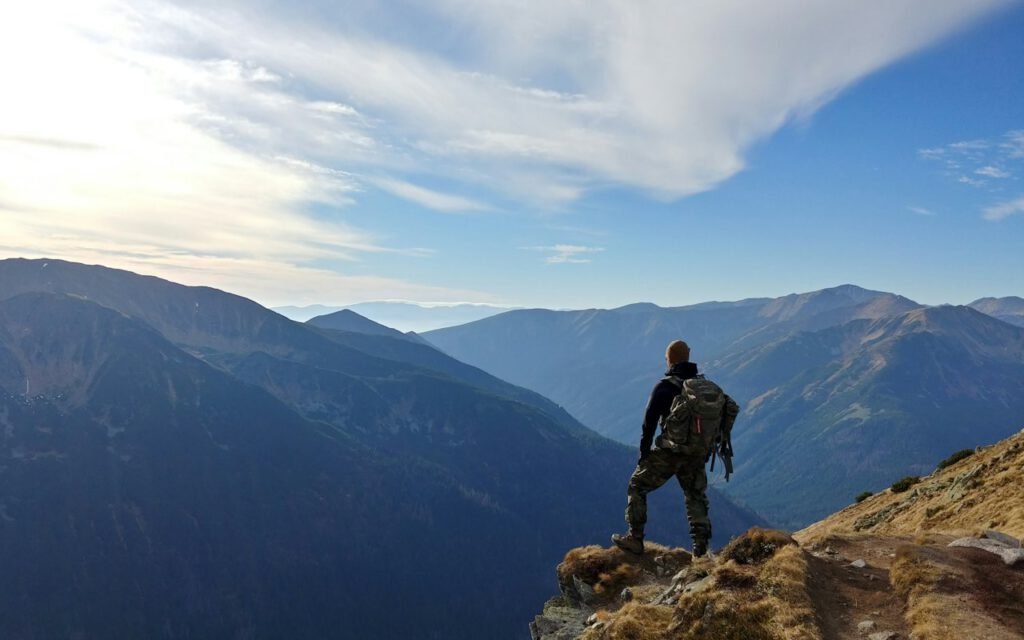
Navigation is a skill that fades without use, so practice it on easy, familiar trails before you need it on unfamiliar ones. At every junction, stop, orient your map and confirm where you are. Check your progress against landmarks like stream crossings, switchbacks and summits. If what you see does not match the map, stop and figure it out before you keep walking.
Your phone and a GPS app are great tools, and there is no reason not to use them. Download offline maps before you leave and carry a backup battery. But keep the paper map and compass in your pack as a reliable backup, and know how to use them. Cold weather, rain and long days all drain batteries faster than you expect.
For deeper skills, consider a map and compass course from a local hiking club, park or outdoor school. Many offer affordable weekend classes with hands-on practice in the field.
What to do if you feel lost
Even careful hikers sometimes lose track of where they are. The most important thing is to stop. Walking faster in an uncertain direction usually makes things worse. Take a breath, drink some water and pull out the map. Orient it with your compass, then look for big, obvious features you can match, like a lake, a peak or a major stream.
Think back to the last place you were certain of your location, such as a junction or a bridge, and estimate how long you have walked since. If you can confidently retrace your steps, do so. If not, stay put, keep warm and use your phone or a whistle to call for help. That is exactly why telling someone your plan before you leave matters so much.
Read the land, not just the trail
Once you learn to read contour lines, you will never look at a trail the same way again. You will see where the trail climbs before you feel it in your legs, spot the saddle that leads to a view and know which valley holds the stream for refilling water. Start with a map of a local park, practice at home and bring it on every hike. It is one of the most valuable skills any hiker can carry.
Outdoor activities carry real risks. Check conditions, tell someone your plan and know your limits.

Written by
Cal Brooks
Cal has guided trips for 18 years and still packs too many snacks on purpose.
10Articles
2026Writing since
Read next
HikingLeave No Trace: Seven Principles Every Hiker Should KnowPlan ahead, pack it out, respect wildlife. CampingKayaking for Beginners: Calm Water FirstPaddle basics, life jackets and picking the right day.
 HikingSnowshoeing: Winter Hiking Made EasyIf you can walk, you can snowshoe.
 CampingHammock Camping: Sleep Among the TreesStraps, bug nets and the diagonal lie.
 PaddlingPaddleboarding: Find Your Balance in an AfternoonWide boards, calm water and knees first.
 HikingSummit Fever: Knowing When to Turn AroundThe smartest hikers set a turnaround time.
 HikingTrail Etiquette: Who Yields to Whom?Hikers, bikers, horses and the uphill rule.
 CampingCanoe Camping: Paddle In, Camp OutPacking, portages and calm-water routes.
 ClimbingBouldering Grades, ExplainedV0 to V-whatever — and why grades vary.
Written by
Cal Brooks
Cal has guided trips for 18 years and still packs too many snacks on purpose.
10Articles
2026Writing since
Start the conversation